The contrast between Headington’s gravelly limestone cap and the Christ Church Meadow floodplain couldn’t be sharper when you start digging. Up on the hill, weathered Corallian beds hold a face reasonably well for a few metres; down by the Cherwell, you hit soft alluvium and the water table rises within the first two metres. That variance across barely three miles is what makes Oxford geotechnically deceptive. A retaining system designed for Headington won’t translate to Jericho or Osney without substantial rework. Our excavation monitoring programmes begin by mapping that transition zone across the city, combining real-time inclinometer arrays with vibrating wire piezometers so the design team sees exactly what the ground is doing behind the shoring before a single alarm threshold is breached. We also run cross-hole seismic checks where the MASW survey has flagged a buried channel that the borehole grid missed, because Oxford’s Quaternary drift hides more paleochannels than the desk study ever suggests.
Oxford’s historic masonry doesn’t forgive a 5 mm differential settlement that a steel-frame building wouldn’t even register.
Methodology applied in Oxford
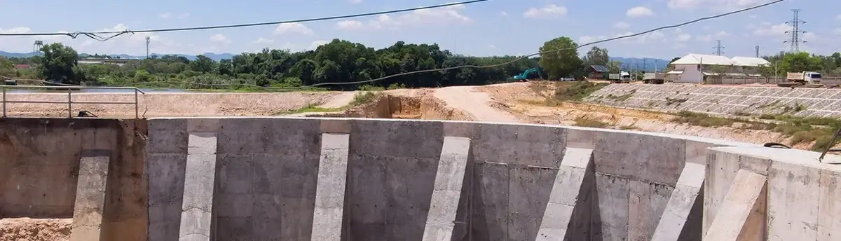
Local geotechnical conditions in Oxford
One observation that only comes from working Oxford sites year after year is how many basement excavations in the Summertown and North Oxford area encounter a perched water table in the gravel lenses that nobody predicted. The contractor opens a 4 m cut, the face stands overnight, and by mid-morning the next day a metre of gravel slumps into the excavation because pore pressure built up behind a thin clay seam. We’ve instrumented enough of these sites to know that a single standpipe piezometer at the centre of the dig won’t catch it; you need a nested array at the boundary, ideally with one sensor just above the claystone interface and another 1.5 m deeper. When that perched zone drains laterally toward the cut, the settlement trough can extend 15–20 m beyond the site hoarding, which in Oxford means the neighbour is often a Grade II listed Victorian villa with lime-mortar party walls. The slope stability analysis we feed with the monitoring data becomes the only defensible basis for adjusting the temporary works without triggering a party wall award. Delaying the instrument installation until after the guide wall is cast is the single costliest shortcut we see repeated.
Our services
The monitoring packages we run in Oxford are tailored to the city’s specific mix of soft alluvium, shallow groundwater and heritage constraints. Each package combines subsurface instrumentation with above-ground structural monitoring, tied to a single web-accessible data platform that the full project team, from the structural engineer to the conservation officer, can interrogate in real time.
Deep Excavation Monitoring Package
Continuous inclinometer and piezometer logging for basement digs and shaft excavations within the Oxford city wall footprint. Includes automated total station monitoring of adjacent listed buildings, crack gauges on vulnerable masonry, and daily BS 5930 compliant reporting with amber/red trigger alerts sent directly to the project engineer.
Tunnelling and Utility Trench Instrumentation
Convergence arrays, extensometers and settlement points for microtunnelling and open-cut utility works through Oxford’s river terrace gravels. We install real-time vibration monitors where the alignment passes within 10 m of a Scheduled Monument, with thresholds calibrated to the masonry condition survey.
Quick answers
What does a typical excavation monitoring plan cost for an Oxford basement project?
For a standard residential basement in Oxford with two inclinometer casings, four piezometers and surface settlement points on the neighbouring property, budgets range from £690 for a short two-week monitoring period to around £2,100 for a full two-month programme with automated data acquisition and daily reporting. The final figure depends on the number of instruments, the duration of active monitoring required by the party wall agreement, and whether real-time web dashboard access is needed.
Which British Standards govern excavation monitoring in Oxford?
The primary standard is BS 5930:2015 + A1:2020, which sets out the code of practice for ground investigations and monitoring. For design and the observational method we follow BS EN 1997-1:2004 (Eurocode 7). Instrument-specific standards include BS EN ISO 18674-3 for inclinometers and the ICE Specification for Piling and Embedded Retaining Walls, which gives minimum monitoring frequencies based on excavation depth and ground conditions.
How close to a listed Oxford building can you install monitoring equipment?
We install crack gauges and prism targets directly on listed masonry using non-invasive fixings agreed with the conservation officer, typically a hot-melt adhesive for short-term monitoring and stainless steel pins into mortar joints for long-term programmes. Automated total stations can be positioned as close as 2 m from a building façade. For inclinometer boreholes, we maintain a minimum 4 m stand-off from historic foundations, and where that isn’t feasible we use grouted-in-place sensors inside smaller-diameter drill holes to minimise vibration during installation.
What trigger levels do you set for Oxford’s soft alluvium?
We derive trigger levels from the specific structural vulnerability of the adjacent asset, not from generic tables. For a Grade II brick-lintel building in Jericho, typical green thresholds are 5 mm of cumulative settlement and 2 mm of differential movement between any two points. Amber triggers usually range from 5 to 10 mm, with a mandatory review and possible reduction in excavation rate. Red triggers, typically above 10 mm, initiate a full stop-work and reassessment of the temporary works design. These values are calibrated against the crack width survey and the building’s known movement history.
How quickly can you mobilise a monitoring team in Oxford?
For urgent party wall requirements or unexpected movement, we can have a two-person team on site within 24 hours across Oxford, often the same day for central postcodes. Instrument installation, including inclinometer casing to 15 m depth and a full piezometer string, typically takes one day. The data acquisition system is live by the end of the first shift, with the first automated report issued within 48 hours of installation completion.