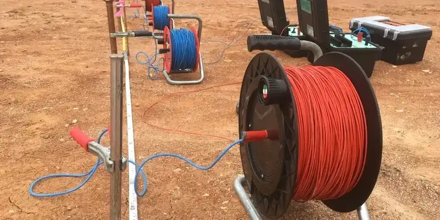
In Oxford, the ground beneath your feet changes dramatically over a few hundred metres. Terrace gravels in Jericho, alluvial silts along the Cherwell, and the stiff Oxford Clay that underlies much of the city create a patchwork of subsurface conditions. Vertical Electrical Sounding (VES) cuts through this complexity. By injecting a known current and measuring the resulting potential difference, we map resistivity variations that reveal layer thickness, depth to bedrock, and water saturation zones, providing a continuous profile without disturbing sensitive archaeological horizons. The technique proves particularly useful on constrained urban sites where test pits would be impractical, or where a MASW survey needs complementary stratigraphic control. Our team runs Schlumberger array configurations calibrated to local geology, delivering 2D resistivity models that inform foundation design and drainage planning.
A resistivity profile does not replace a borehole, but it connects the dots between them with a level of lateral detail that drilling alone cannot deliver.
Methodology applied in Oxford
- Schlumberger and Wenner array configurations available, selected by target depth
- Inversion modelling with RMS error typically below 5%
- Correlation with available borehole logs or SPT blow counts to constrain the geoelectrical model
- 2D resistivity sections exported to CAD and BIM formats
Local geotechnical conditions in Oxford
The geotechnical contrast between North Oxford and the floodplain south of the Isis could not be starker. Summertown sits on well-drained gravel terraces where resistivity values run high and foundation risks are moderate. Move south to the Osney or Hinksey areas and you encounter waterlogged alluvium with resistivity readings an order of magnitude lower, indicating soft, compressible soils and shallow groundwater. Skipping a geophysical survey in these low-resistivity zones invites differential settlement. VES data flags the transition between competent gravel and saturated clay before a single pile is driven, letting the structural engineer adjust bearing depths with confidence rather than reacting to problems during excavation.
Our services
Our Oxford resistivity works cover the full workflow from survey design to interpretation, always referencing local geological markers and site-specific constraints.
1D Vertical Electrical Sounding (VES)
Schlumberger array soundings for depth-to-bedrock, water table mapping, and layer thickness estimation on sites with simple geology.
2D Electrical Resistivity Tomography (ERT)
Multi-electrode profiles along planned foundation axes or pipeline routes, resolving lateral changes in clay, gravel, and fill.
Combined geophysical campaigns
Resistivity paired with seismic refraction or MASW for shear-wave velocity correlation, critical on Oxford Clay slopes.
Archaeological pre-construction screening
Low-impact resistivity mapping to identify buried structures or soil disturbances before intrusive investigation, a frequent requirement in central Oxford.
Quick answers
How much does a VES survey cost for a residential site in Oxford?
For a typical residential plot requiring four to six soundings with basic inversion modelling, costs range from £480 to £750 plus VAT. The final figure depends on access constraints, electrode array length, and whether 2D tomography is needed.
Can resistivity distinguish between Oxford Clay and the overlying gravel?
Yes, the resistivity contrast is usually strong. Dry gravels register above 100 Ohm-m, while Oxford Clay formations typically fall between 8 and 25 Ohm-m depending on moisture content and fissuring. Saturated gravel reduces the contrast, so we calibrate against at least one borehole or trial pit log.
How long does a VES survey take on site?
A set of five Schlumberger soundings to 30 metres depth takes one field day with a two-person crew. 2D ERT lines add roughly two hours per 100-metre profile. We deliver preliminary layer models within three working days and the final interpretative report within five.